We are a proud sponsor of QGIS
19 February 2019
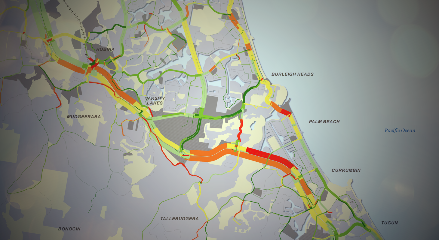
Geographic Information System (GIS) analysis and visualisation is an important part of VLC’s toolkit. We use GIS to represent our networks, create infrastructure scenarios, analyse results and create maps that deliver the results of our work to our clients.
QGIS is the default application we use. It is a GIS application maintained by the Open Source Geospatial Foundation (OSGeo). QGIS supports numerous vector, raster, and database formats and functionalities. VLC’s lead model developer Pedro Camargo said, “VLC is utilising QGIS more and more for model maintenance and analysis of model results. It enables us to leverage a growing number of other open source geoprocessing tools and to create beautiful maps. We’ve been really pleased with the results.”
VLC is pleased to support the volunteer-led QGIS through a bronze level sponsorship for 2019. As well as appreciating QGIS’s functionality, we support QGIS and the open source movement as it enables a free flow of ideas between users, contributing to collaboration and rapid innovation. For more information on QGIS, go to: www.qgis.org


